 22 hours Ago By [email protected] (Aurielle Eady)
An EF2 tornado touched down in Lake Mary, Florida, on Monday morning with peak winds of 155 mph, comparable to a Category 2 or 3 hurricane. FOX 35 was on the air when the tornado likely was found on our cameras. FOX 35 Meteorologist Brooks Garner led Orlando views -- and the station -- through the storm.
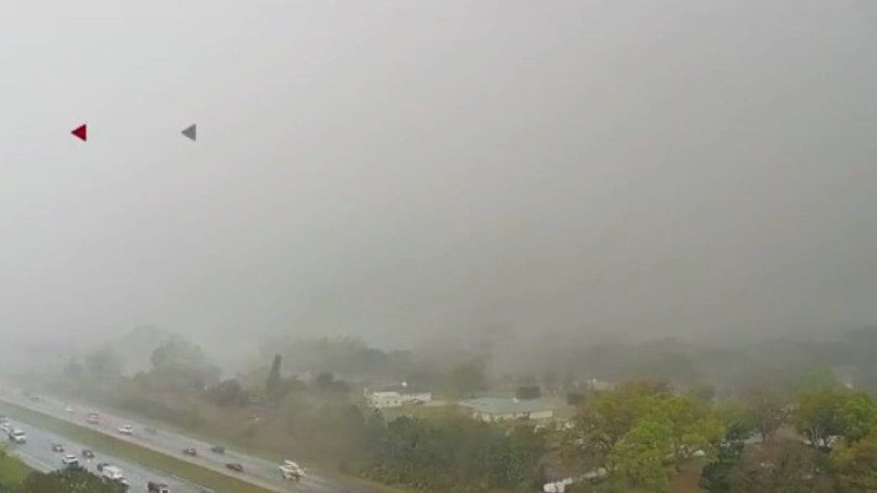
Here are four views of the storm from FOX 35 cameras. LAKE MARY, Fla. - An EF2 tornado touched down in Seminole County, crossing over the FOX 35 News studios, as fast-moving severe storms pushed across Central Florida on Monday morning.

The tornado reportedly touched down with winds peaking at 115 mph at 9:36 a.m. – just two minutes after the National Weather Service (NWS) of Melbourne issued a tornado warning for the area, officials said.
What we know: The system reportedly crossed Markham Woods Road and continued towards the Lake Mary area, where it crossed Interstate 4 towards Skyline Drive, where our studios are located, according to the NWS. Alan Harris, spokesperson for Seminole County Emergency Management, confirmed multiple reports of damage, including a collapsed home in Longwood, overturned cars, trees in the road, and downed power lines. Fortunately, no fatalities or injuries were reported.
SKYFOX aerial image of tornado damage in Longwood, Florida, Monday, March 10, 2025. What they're saying: "An EF-2 this time of year is considered a rare Florida tornado. Generally speaking, 90% of tornadoes that the state of Florida sees are generally EF0 or EF1 tornadoes, which are still potentially damaging because they too can have winds up to 100 mph, but, to see winds of 115 mph or greater is a rare phenomenon for us here in Central Florida," a NWS spokesperson said.
The National Weather Service held a press conference following the tornado that made landfall in Lake Mary. The NWS ranked the tornado as an EF2 with 115 mph winds. RELATED | Tornado causes home collapse in Longwood, residents uninjured Meteorologist Brooks Garner was live on air tracking the tornado warning for Seminole and Volusia counties when the tornado crossed over our studios.
Watch below: A suspected tornado passed over Seminole County, including the WOFL FOX 35 TV Studios, on Monday morning, as a series of strong thunderstorms crossed over the area. "Everybody in the FOX 35 building, get to your safe space under your desk, if you're not in a designated area," Brooks said. "We're catching debris right now on the roof.
Debris is on the roof right now. We're hearing..
. you can see the debris flying there on the camera. This is a tornado! Seek shelter immediately.
" MORE | Hundreds left without power in Central Florida due to severe weather A Seminole County homeowner's backyard pool lanai was destroyed after severe thunderstorms and a tornado touched down in Lake Mary, Florida on Monday. FOX 35 surveys the damage. MORE | Live weather cameras: Watch as heavy rain, storms move across Central Florida The tornado formed as heavy rain and strong storms moved across the Central Florida region, bringing heavy downpours, gusty winds, and the potential for brief tornadoes.
These showers and storms will race through Central Florida quickly, with the majority of the rain wrapping up by the early to mid-afternoon hours. Tornado watch: A tornado watch is issued when severe thunderstorms and tornadoes are POSSIBLE in and near the watch area. This does not mean that a tornado will occur.
It just means it's possible, per National Weather Service. A severe thunderstorm is defined as a thunderstorm with winds of 58 mph or higher and/or hail 1 inch in diameter or larger. Tornado warning: A tornado warning is issued when a tornado is IMMINENT.
If a tornado warning is issued, seek safe shelter immediately. STAY CONNECTED WITH FOX 35 ORLANDO: The Source: This story was written based on information shared by the FOX 35 Storm Team, the Seminole County Emergency Management and the National Weather Service on March 10, 2025..