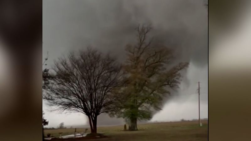
The Pittsburgh region is in line for a milder dose of the wild weather spinning across the Midwest Wednesday. Showers, thunderstorms and reports of quarter-sized hail swept across Ohio into the Pittsburgh-area during the afternoon. Another round of showers and thunderstorms move in later tonight into Thursday morning, according to the National Weather Service.
The biggest threat could be gusty and “potentially damaging winds” depending on how long the storms stick around, according to Bill Modzelewski, meteorologist at NWS. Last year, the region saw an increase in the number of tornadoes and tornado watches and warnings. Modzelewski said it was due to strong storm systems with a lot of wind shear — the variability in wind speed and direction that leads to rotating storms like tornadoes.

But while today’s storms also have wind shear, “the instability isn’t enough for that to reach the ground. It’s been more aloft today,” Modzelweski said. “So, the storms have been producing more hail than wind or like a tornado potential.
” April does indeed bring more showers and an uptick in severe storms and “active weather” that peaks in May and June before tapering off a bit. “Usually by mid-summer, we'll still have severe weather, but our most active season starts to drop off a little bit,” Modzelweski said..


