
 22 hours Ago By Jenny List
Satellite imagery is in the news right now, but not all satellite constellations are the preserve of governments. Satellogic operates a series of CubeSats with Earth imaging payloads, and best of all, they maintain an open dataset. [Mark Litwintschik] takes us through using it.
Starting with a script to recover the locations of the satellites, he moves on to the data itself. It’s in a huge S3 bucket, for which parsing the metadata becomes a big data question rather than one of simple retrieval. After parsing he loads the resulting data into a database, from which he can then perform queries more easily.

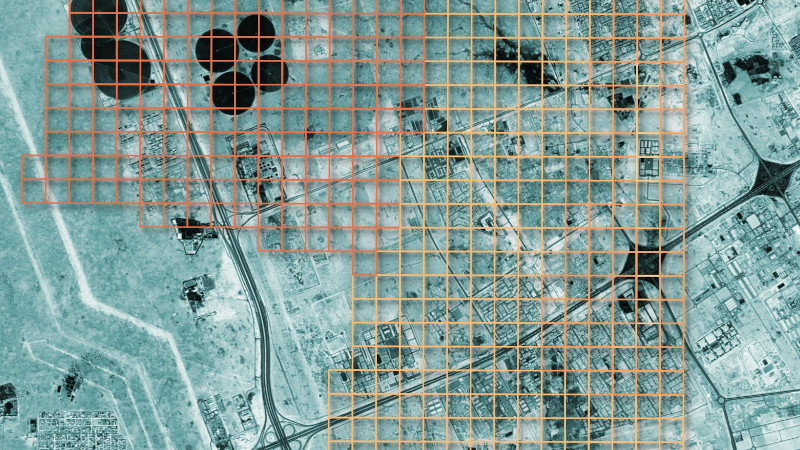
He uses Qatar as his example, and shows us the resulting imagery.The dataset isn’t comprehensive, it’s obvious that the areas surveyed have been done at the behest of customers. But who knows, your part of the world might be one of the areas in the dataset, and now you have all the tools you need to explore.
It certainly beats low-res weather satellite imagery..