 2 weeks Ago By Eric Tanaka
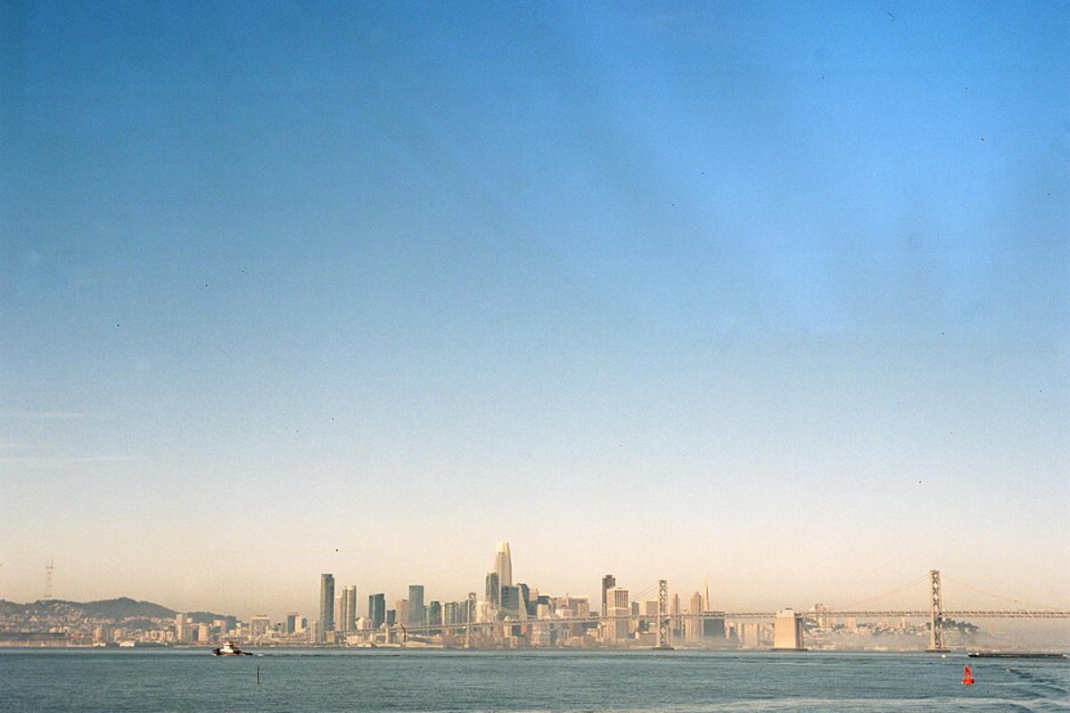
The National Weather Service of San Francisco predicts a drastic temperature drop alongside multiple rounds of rain over the next seven days. According to an official release, temperatures are set to plummet by 15 to 20 degrees, bringing much cooler air and light rain, a stark contrast to the record warmth the region has experienced.The brief spell of summer is now firmly behind us, and the forecast is looking more quintessentially spring, with Santa Rosa's temperatures, which hit a high of 85 degrees yesterday, expected to stoop down to 64 degrees today.
Not to be outdone, Hollister is predicted to experience similar conditions, dropping from yesterday's high of 87 to 68 degrees. As per the National Weather Service, most areas are poised to hover around the 60s. The cooler temperatures are partly due to an upper-level ridge overhanging the West Coast and are now nudged eastward by an incoming trough.

Alongside the temperature downturn, the region is preparing to grapple with not just rain but also significant marine and beach impacts. A High Surf Advisory has been issued from Thursday morning through Friday for west and northwest-facing beaches, with breakers anticipated to reach a colossal 25 to 30 feet in height. The Northern Monterey Bay faces an increased risk, with breaking waves between 15 and 20 feet also expected.
The National Weather Service urges locals and visitors to maintain a healthy distance from the ocean. A Beach Hazards Statement is in effect through Wednesday morning, and another warning for potential sneaker waves and strong rip currents is in effect from late tonight into Friday morning. "Never turn your back on the ocean and remain out of the water to avoid hazardous conditions," the NWS cautions.
.