 4 days Ago By Kamal Jenkins
The National Weather Service San Diego has provided a forecast that shows cooler temperatures continuing through much of next week with a deeper marine layer that could lead to areas of drizzle, particularly during the nights and mornings. The forecast indicates that high temperatures for the coastal areas today will range from 59 to 63 degrees, with the low deserts expecting highs between 74 to 81 degrees. Meanwhile, Saturday's temperatures will be slightly warmer, yet still 5 to 10 degrees below average for the mountains and valleys, and Sunday will see not much change from Saturday's temperatures.
According to the NWS San Diego forecast, stronger onshore winds are expected to continue, with areas of stronger and gustier west winds over the weekend. The strongest winds are anticipated in the mountains and deserts, with gusts along and below the east slopes of the mountains potentially hitting 40 to 50 mph, with isolated stronger gusts. For aviation, layered low clouds have filled the coastal basin, which may lead to visibility reduction locally through the morning due to isolated pockets of -RA or light rain.

Low clouds are expected to redevelop in the evening, creating similar visibility issues.The marine layer's influence has been substantial enough to generate light precipitation in some areas, with isolated amounts in southern Orange County up to 0.09 inch by 3 AM, and up to 0.
2 inch in some parts of San Diego County. This cooler and wetter trend seems set to persist at least into the middle of next week, with potential precipitation chances growing, although there's a "growing spread in the range of model solutions and the resulting timing and amounts of potential precipitation," as mentioned in the Area Forecast Discussion. The outlook for next week indicates cooler-than-average high temperatures will continue alongside periods of stronger and gusty winds in the mountains and deserts.
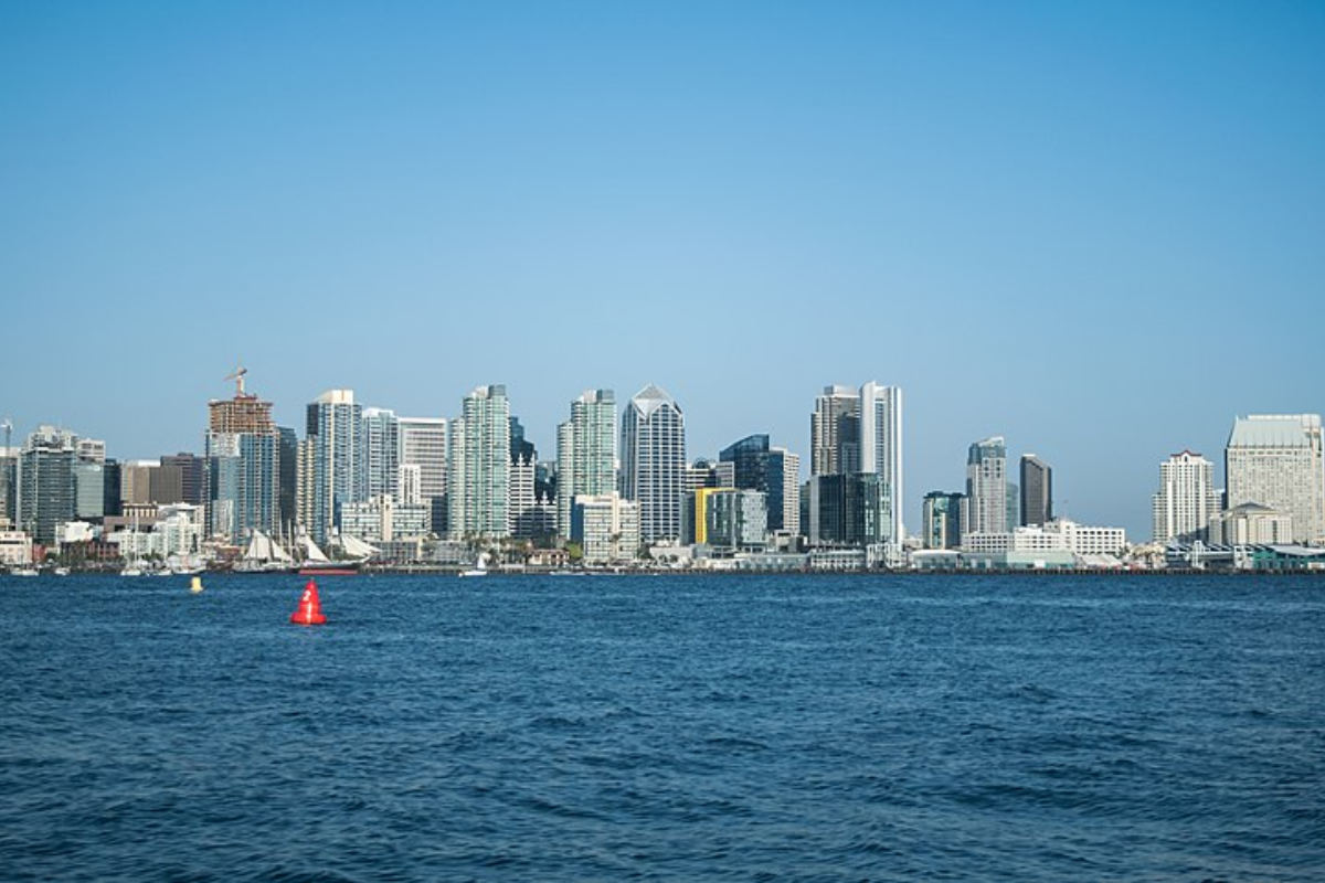
For those heading to the coast, the NWS has advised of elevated surf, up to 8 feet, with local sets potentially reaching 9 feet through Saturday afternoon. This likely generates strong rip currents and poses dangerous swimming conditions. In light of these conditions, a High Surf Advisory and a Beach Hazards Statement have been issued.
Mariners should equally be cautious as strong northwest winds have been stirring up steep waves, with a Small Craft Advisory in effect until early Saturday for the outer waters..