 4 days Ago By Sarah Hernandez
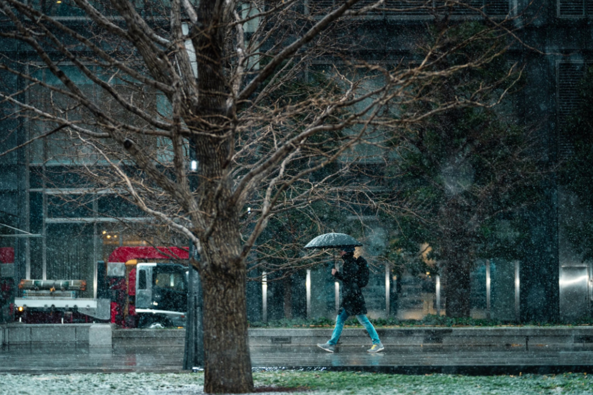
Sacramento residents brace for another round of active weather conditions, according to the latest forecast from the National Weather Service (NWS) in Sacramento. The forecast, detailed in an early morning report, indicates that weather disruptions will continue through Saturday morning followed by a brief respite. But don't get too comfortable; a fresh system is anticipated to sweep in from Sunday through Tuesday morning, with yet another strong front close on its heels late Tuesday morning.
In the highs and lows of this weather rollercoaster, those in the Sierra and Southern Cascades above 5,500 feet are advised to expect moderate snow continuing into Friday evening. The NWS states, "24-hour Probability of snowfall > 6 inches: 40 to 60 percent." Moreover, there is a slight chance of isolated thunderstorms this afternoon and evening, and the possibility crawls back up to a 15% on Sunday, especially in the foothills and mountains.

On Saturday, a return to weather is forecasted. The succeeding phase from Sunday into the following week has the NWS predicting "at least light to moderate rain/mountain snow expected with gusty winds and isolated thunderstorms possible." The Sunday-Tuesday AM system is looking to bring snow levels down to 4500-5500 feet, with a probability of more than 8 inches of snow standing at 60 to 90 percent above 5500 feet along the Sierra/southern Cascades.
The report adds, "very early Tuesday morning snow levels could reach 3000 feet for a short period."The midweek storm system set to arrive Tuesday through Friday morning could prove to be the most intense, delivering more significant rainfall in the Valley and potentially over a foot of snow in higher elevations. Despite its potential strength, the confidence in forecasts remains low, with the NWS saying, "Rainfall generally 0.
50" to 1.25" rain in Valley, locally higher rain totals in Shasta County, with snow accumulations possibly more than a foot." Travelers and residents in affected areas should stay alert as there have been no changes to the potential impacts from previous forecasts.
Air travel should mostly not be disrupted in the near term, with VFR conditions expected to prevail at TAF sites for the next 24 hours, though "some brief periods of MVFR possible through 00z in -SHRA," according to the NWS. Mountain regions, however, will likely face MVFR/IFR conditions due to ongoing snow showers. Motorists and outdoor enthusiasts should take note of the Winter Weather Advisory in effect until 5 PM PDT this afternoon for the West Slope Northern Sierra Nevada and Western Plumas County/Lassen Park.
For more weather details and advisories, check updates on the NWS website..