Sacramento residents can look forward to yet another mild day before the weather takes a cooler, more unsettled turn. The National Weather Service Sacramento CA reports clear skies this morning thanks to a persistent ridging pattern, with light winds touching most areas except for the breezier terrain.Following this warm start, high temperatures are expected to be seasonably warm this afternoon, with some areas potentially nearing record highs.
"Current probabilities of high temperatures reaching 85F sit around 40 to 70% through the Delta and Valley locations from Interstate 80 southward, with 60 to 95 percent probabilities further northward," the National Weather Service notes. However, as Wednesday approaches, a shift in the weather pattern will bring in cooler temperatures, still above normal for late March, and increasing southerly winds, with gusts of 25 to 35 mph anticipated for much of interior NorCal.The coming days promise a more active scenario, with "periodic shortwaves" moving through the region.

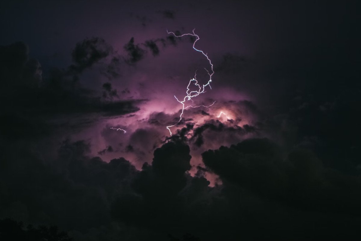
According to the forecast, this could lead to some thunderstorm activity, particularly in the northern Sacramento Valley and surrounding terrain, where the chances are about 20 to 30 percent. Meanwhile, the Sierra has a lower forecast probability for thunderstorms, sitting at 5 to 15 percent.Light snow accumulations are also on the horizon, particularly for elevations above 5000 feet.
"While accumulations from either of these individual systems are expected to be light, current probabilities of exceeding 4 inches of snowfall through Friday evening do sit around 30 to 60 percent from Highway 50 northward at this time," the NWS disclosed. Looking towards the weekend and early April, we can see a brief respite from precipitation before a likely return to active weather and a trend towards more widespread precipitation, potentially stemming from atmospheric river moisture.In aviation news, VFR conditions are expected to dominate during the next 24 hours across interior NorCal, with just a minor chance of reduced visibility due to fog in the central/southern Sacramento Valley and northern San Joaquin Valley in the early morning.
Surface winds should remain tame, staying below 12 knots with variable direction. As we roll into the weekend and step into April, below-normal temperatures are anticipated to round off what has been a series of fickle weather patterns for Northern California..
Environment

Sacramento Braces for Cooler Weather and Potential Thunderstorms After Warm Start to the Week

Sacramento enjoys a mild day before shifting to cooler, unsettled weather with possible thunderstorms and light snow above 5000 feet.


