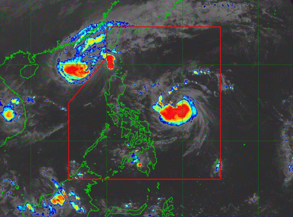
Tropical cyclone Ofel has further strengthened and is now a typhoon, PAGASA said in its 5 a.m. weather bulletin on Wednesday.
Six areas have been placed under Signal No. 1: Ofel is moving moving westward at 25 kilometer per hour (km/h) with maximum sustained winds of 120 km/h near the center and gustiness of up to 150 km/h. The center of the typhoon is at 475 km east northeast of Virac, Catanduanes or 595 km east of Daet, Camarines Norte.
PAGASA said Ofel will move west northwestward to northwestward over the Philippine Sea before making landfall along the east coast of Cagayan or Isabela on Thursday. "It will then emerge over the Luzon Strait on Friday and turn more north northwestward while slowing down before behaving erratically during the weekend," the state weather bureau said. "Regardless of the position of the landfall point, it must be emphasized that hazards on land and coastal waters may still be experienced in areas outside the landfall point or forecast confidence cone," it added.
PAGASA explained Ofel's track may shift and go west northwestward track during the land crossing that is further south of the present scenario. It may also take a "recurving track to the right of the present forecast which will bring it mainly offshore of Northern Luzon." "Ofel is forecast to steadily intensify within 24 hours and possibly make landfall during its peak intensity," PAGASA added.
—LDF, GMA Integrated News.


