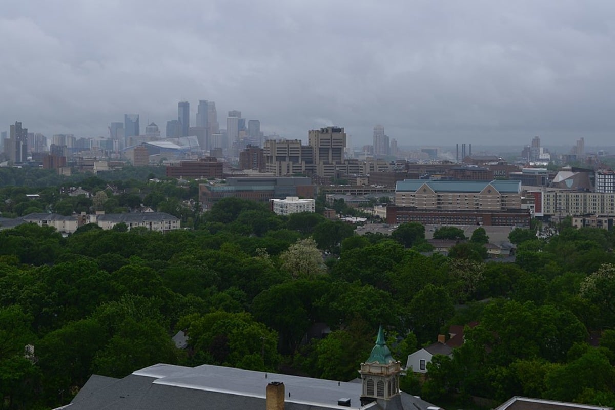
Minneapolis is bracing for a messy spring storm set to bring rain transitioning to freezing rain, sleet, and snow, with the National Weather Service (NWS) Twin Cities issuing a Winter Weather Advisory effective from late tonight through Sunday afternoon, according to their latest update. The forecast, with a 100% chance of precipitation tonight, anticipates a low around 32 degrees accompanied by gusty northeast winds reaching up to 25 mph, potentially amassing less than half an inch of snow and sleet.The NWS warns that, starting midday today, we can expect "Widespread rain arriving around midday will transition to a wintry mix of freezing rain, sleet, and snow later tonight into early Sunday," with up to four inches of snow possible in certain areas, and this volatile cocktail of weather conditions is set to challenge the city's spring spirits by introducing treacherous driving scenarios and the need for extra vigilance on the roads, which adds another layer of complexity for weekend plans as residents might find themselves weighing the risks of travel against their desire or need to venture out.
Looking ahead, the outlook does not significantly improve, with NWS reporting a persistent 50% chance of rain and snow come Tuesday, adding to an already fraught weather narrative for the start of April, thus it seems that this particular metropolis is trapped at the whim of a celestial dance - a weather pattern where the sun's warmth and winter's frost are entangled in an undecided tango, but with potentially hazardous outcomes for Minneapolitans on the ground - as it was articulated by the NWS's forecast statement.For locals, the NWS advises to "Slow down and use caution while traveling," as the advisory stresses planning for slippery road conditions and the potential need to adjust travel plans, the warning period, running from 10 PM this evening to 4 PM CDT Sunday, covers a broad swath of the state, encapsulating portions of central, east central, south central, and southwest Minnesota, all of which are in for a dose of early spring frigidity and forcing us to acknowledge that here, in the heart of America, sometimes peace and reprieve from winter's grasp are as transient as the unpredictable dance of a snowflake descending to earth - a fitting metaphor for nature's unyielding march, no matter the season or the wishes of those to whom weather does more than just happen - it intervenes..


