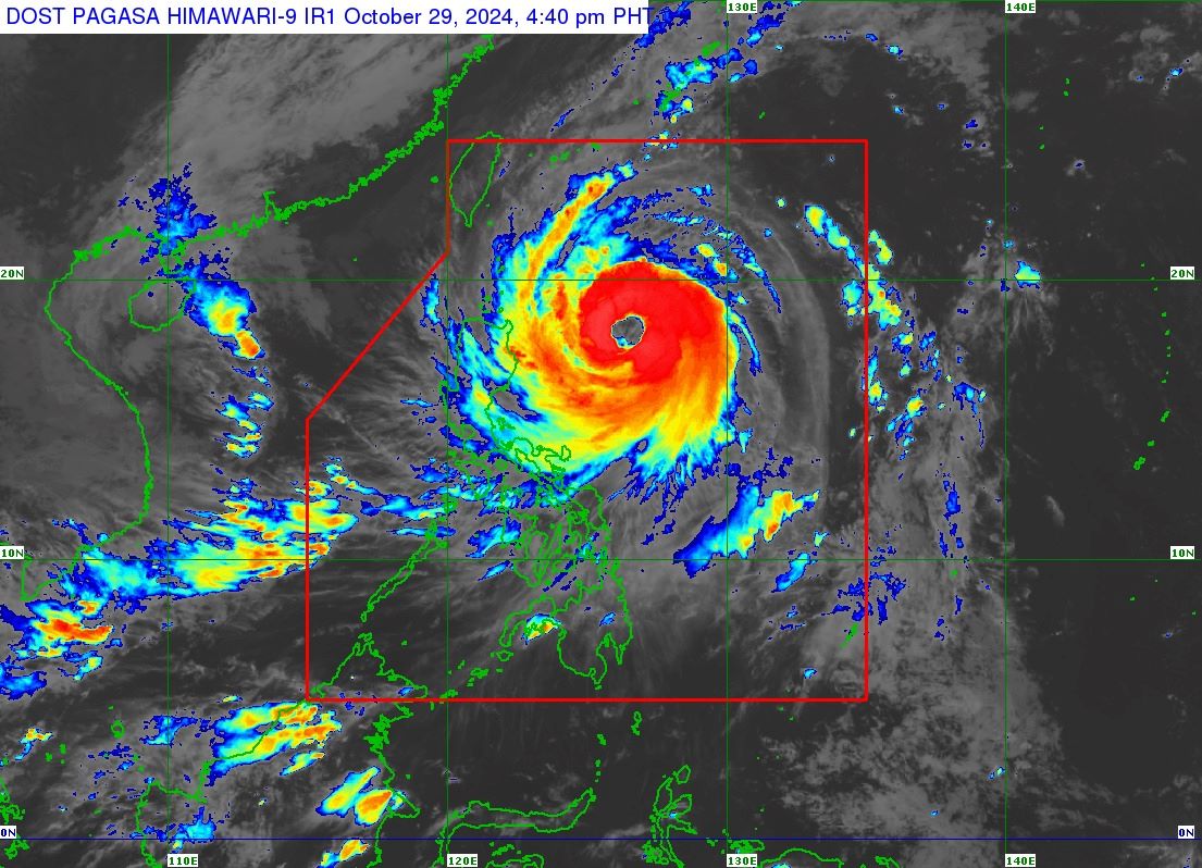
Typhoon Leon (international name: Kong-Rey) is rapidly intensifying over the waters east of Cagayan, according to the state weather bureau PAGASA on Tuesday afternoon. At 4 p.m.
, Leon was spotted 505 km east of Tuguegarao City, Cagayan, or 515 km east of Aparri, Cagayan, carrying maximum sustained winds of 150 km/h and gustiness of up to 185 km/h. Moving west northwestward at 10 km/h, Leon is expected to continue rapidly intensifying over the Philippine Sea before it makes landfall over the eastern coast of Taiwan on Thursday. It will likely be at or near super typhoon intensity during its closest point of approach to Batanes.
"Leon will be closest to Batanes between Thursday early morning and noon. A landfall in Batanes is also not ruled out,'' PAGASA said. Meanwhile, Signal No.
2 was hoisted over these areas: Signal No. 1 was raised over the following areas: ''The highest Wind Signal [that] may be hoisted during the occurrence of Leon is Wind Signal No. 3 or 4, especially in Batanes and Babuyan Islands,'' PAGASA said.
Between Tuesday and Wednesday afternoon, intense to torrential rains (>200 mm) are expected in Batanes and Cagayan including Babuyan Islands, and heavy to intense rains (100 to 200 mm) in Ilocos Norte, Apayao, Isabela, Occidental Mindoro, and Antique. Ilocos Sur, Abra, Kalinga, Calamian Islands, Romblon, Negros Occidental, and Aklan will have moderate to heavy rains (50 to 100 mm). Also, the wind flow coming towards Leon's circulation will bring gusty conditions (strong to gale-force) over the following localities (especially in coastal and upland areas exposed to winds) outside wind signal areas:.


