 2 weeks Ago By Anthony Jackson
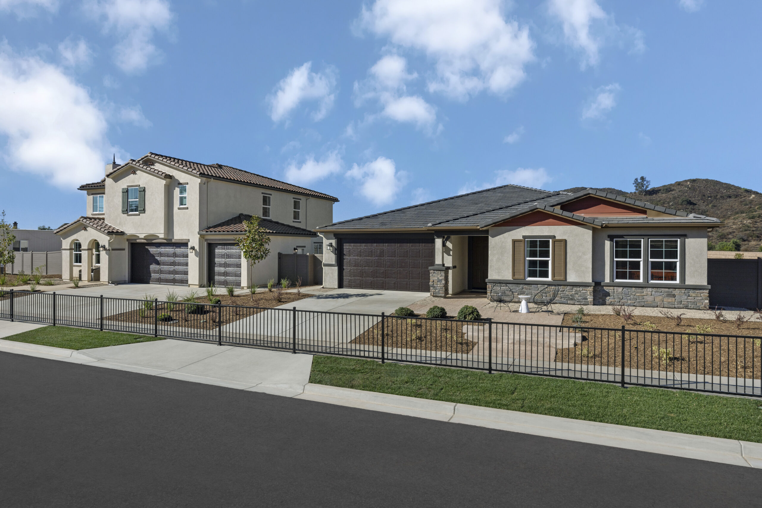
Las Vegas is in for a hot week, with temperatures expected to be 14 to 18 degrees above normal by Wednesday. However, the heat won’t last long, as a shift in weather is predicted for the second half of the week. This will bring cooler, more seasonal temperatures, stronger winds, and lower chances of rain in some areas, as per the National Weather Services.
The near-term outlook through Wednesday night promises calm weather, with today's temperatures expected to rise even higher. "A weak shortwave will help to slowly shift the ridge axis east on Wednesday bringing some lowering heights into the region; however, with better mixing due to an increased southwest flow we should see the warmest temperatures of the week," detailed the report from the National Weather Service. In a statistic likely to cause a stir among the climatically curious, there's a "50% chance of Las Vegas reaching 90 degrees" according to the latest NBM 4.

2, while the NBM 5.0 predicts a 90% chance of eclipsing that number. The famed Death Valley isn't to be outdone, having hit a sizzling 99 degrees on Monday, indicating that breaking the 100-degree mark is within the realm of possibility for today or tomorrow.
From Thursday onward, the weather scene takes a turn as a deep low-pressure system forming off the Pacific Northwest coast is set to introduce a more kinetic atmosphere to the Las Vegas region. This evolution spells the gradual degradation of the aforementioned high-pressure ridge, making way for a resurgence of gusts and a gradual cooldown to remind the desert of the forceful winds characteristic of this time of year. "Periodic windy conditions look to remain possible as additional disturbances move through over the weekend," confirms the National Weather Service communication.
While the overall forecast imparts a dry outlook, increasing cloud cover can be expected, and the Sierra may see an uptick in precipitation chances as the weekend approaches.Aviation-wise, the current conditions are clear with light winds adhering to diurnal patterns expected for the forecast period at Harry Reid Airport. “VFR conditions will prevail, with increasing mid and high clouds this evening and tonight.
No operational impacts are anticipated,” the NWS report reassures aviators. Much the same can be said for Southern Nevada, Northwest Arizona, and Southeast California—though KVGT, KHND, and KDAG will experience light winds, KBIH is braced for gustier up-valley winds this afternoon. Commuters and pilots in KEED and KIFP should note variable and potentially gusty winds, with KIFP expecting gusts around 25KT after sunrise before calming down early in the afternoon.
.