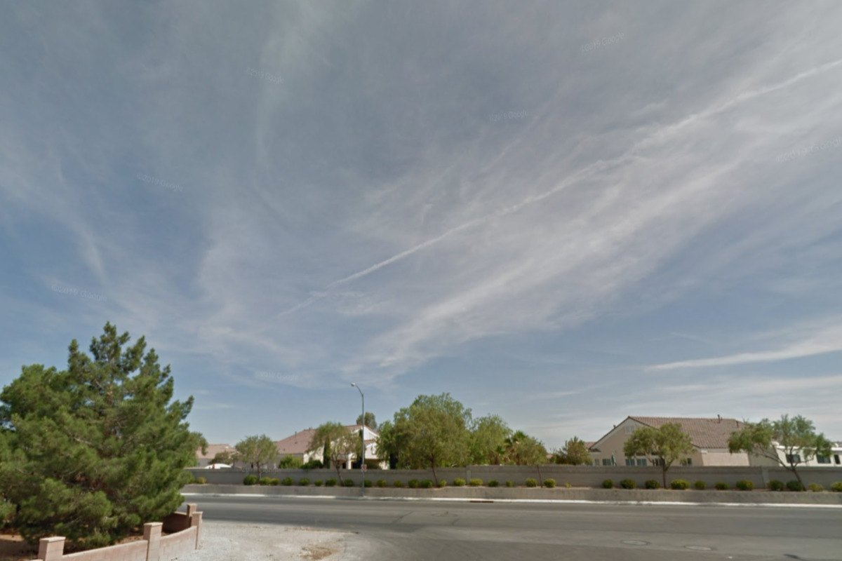
Las Vegas locals and visitors can expect a brief respite from the recent cool temperatures today as a ridge of high pressure moves in, according to the National Weather Service Las Vegas. In the forecast discussion on NWS released in the early hours, it is indicated that this break will be short-lived, however, with another low pressure system due to swing by the area tomorrow, bringing gusty winds and a continuation of the cooler weather trend. As of midnight, satellite imagery showed clear skies across the region.
Surface observations also noted that temperatures averaged a few degrees colder than yesterday with dewpoints also several degrees lower. A positively tilted shortwave ridge is going to pass over the area, "bringing quiet weather with one exception." It is expected that the northerly winds, while generally subsiding, will amplify down the Colorado River Valley with isolated gusts reaching 35 mph in locations such as Laughlin, Bullhead City, and Davis Dam.

Despite the increased winds, no Lake Wind Advisory has been issued; the NWS will continue to communicate updates through other channels. Looking ahead to tomorrow, the incoming low pressure system from the Pacific Northwest is slated to trek through the northern Rockies. This will likely cause winds to pick up over the Sierra crest tonight, spreading southward to the Barstow region by tomorrow.
The subsequent cold front is expected to push through the southern Great Basin tomorrow before reaching the Mojave Desert by evening, which will herald a switch to northerly winds. "Temperatures today will be warmer than Saturday," the NWS reports, citing that "the most warming at higher elevations and in well ventilated lower elevations, and less warming in valleys." For tomorrow, temperatures should mirror those of Sunday within the Mojave Desert, with cooler readings anticipated in the southern Great Basin subsequent to the cold front's passage.
Transitioning into the week, Tuesday will see the trough move eastward, making way for a southeast Pacific high-pressure system. This change is set to usher in a period of mostly sunny skies, light winds, and a warming trend that will elevate temperatures to above-average as the weekend approaches. A forecast update on NWS states that "a ridge of high pressure will form in the southeastern Pacific Ocean, which will bring mostly sunny skies, light winds, and will allow temperatures to gradually rebound back to above-average by next weekend.
" Last but not least, aviation interests should take note. For Harry Reid International Airport, northwesterly winds are going to sit above 10 knots through the morning, shifting to the northeast and easing in the afternoon. The evening will see a transition to southwestern winds, then becoming variable into tomorrow.
Expect to encounter "FEW mid-level clouds move through in the afternoon and evening," according to the NWS . The broader region should experience a similar calming of winds, with the Colorado River Valley staying gusty through the day before winds start to diminish by evening. As for KDAG, expect westerly winds to persist at lower speeds then increase come early tomorrow morning.
The NWS also calls on spotters to report any significant weather or impacts according to standard operating procedures, ensuring that the community has access to the most current and accurate weather information..


