Honolulu is bracing for a wetter end to the week as a frontal boundary approaches Kauai, bringing with it a notable increase in rain chances, particularly over the state's western regions. According to NWS Honolulu, the weather shift is due in part to a weakening high pressure system to the northwest, and the impending front that's expected to stall near Oahu between Thursday and Friday. The forecast indicates that this could potentially cause localized nuisance flooding or ponding, particularly on north Kauai as the front moves in and winds weaken.
The weakening high pressure is currently generating milder south to southeasterly winds but will lead to lighter breezes and potential seabreezes that could drive clouds and showers to develop over leeward and interior spots. Nighttime land breezes may clear away clouds and showers, especially over the eastern half of the state. Nevertheless, the influx of volcanic air pollution, more commonly known as vog, will likely become more widespread in the same period.

Moving into the weekend, a return of breezy to locally strong trade winds is on the horizon, which should help clear out the vog to the southwest of the state. A showery trade wind pattern is also anticipated, with the most significant moisture expected to hit the islands' western reaches.From an aviation standpoint, moderate southerly winds will continue over the western half of the state, accompanying a forecasted uptick in shower activity around Kauai and Oahu.
While the eastern islands are likely to maintain mostly Visual Flight Rules (VFR) conditions, aviators should be aware that no AIRMETs are currently in effect, despite the ongoing volcanic activity at Kilauea.Mariners should heed the Small Craft Advisory in place until 6 PM HST today for waters around the Big Island, signalling that conditions may be perilous for smaller vessels. The approaching front heralds the development of moderate to locally intense northeast trade winds over the weekend, persisting into early next week.
Surfers might be stoked to know that a moderate north-northwest swell will get bodies on boards by Friday, escalating into potentially warning-level surf along northern shores over the weekend due to a large, long-period swell..
Environment
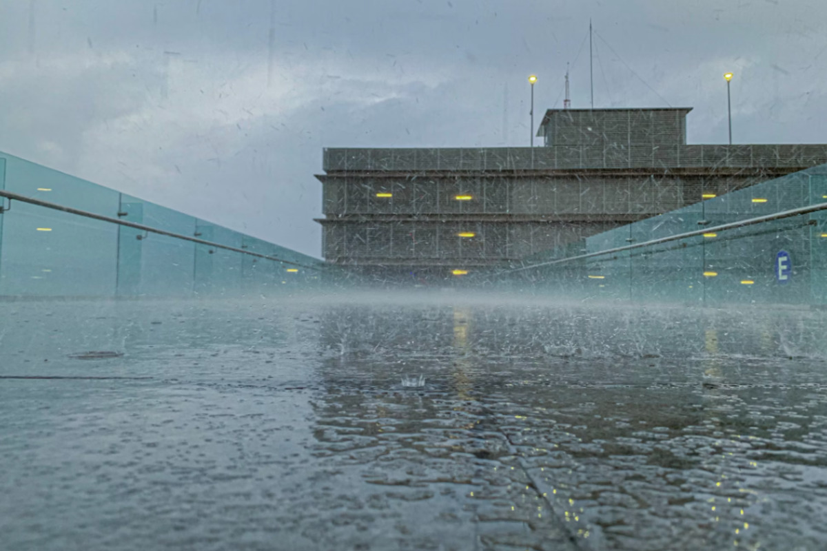
Honolulu on Alert for Increased Rainfall and Potential Flooding as Front Approaches Kauai

Honolulu expects increased rain chances and possible nuisance flooding as a frontal boundary nears, with weaker winds and widespread vog.


