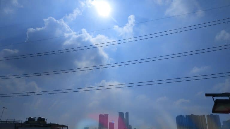
INDIANAPOLIS — It's been quite the cold start to the month of the December. In fact it's been unseasonably cold since late last week. The average temperature the past two days has been nearly 15 degrees below average and more indicative of Anchorage, AK vs early December in Indianapolis.
If you're not a fan of this stinging cold, I've got some bad news and some good news. The bad news is that it's going to get even colder behind the passage of an Arctic front that crosses the state Wednesday night as windchills drop below zero. The good news is that it will "feel" nearly 60 degrees warmer Sunday into Monday as temperatures approach 50 despite widespread rain.

RELATED: Why did less than a half inch of snow cause hundreds of crashes in Indianapolis? First things first. Temperatures today, December 3rd, have been mid-winter chilly in the mid-20s for most with a blanket of clouds now extending north of I-70. We'll be monitoring conditions very closely overnight into the morning commute on Wednesday with the potential of some freezing drizzle developing as the near-surface layer becomes saturated.
Confidence on how widespread and how impactful this will be for the commute tomorrow is very low. But it can not be ruled out and it's best for you to wake earlier than normal to watch Chuck Lofton and 13 Sunrise to see what, if any, impacts happened overnight. Remember, it doesn't much freezing drizzle for slick spots to develop before temperatures go well above freezing Wednesday afternoon courtesy of a strengthening southwesterly wind over 30 mph at times.
That southwest wind shifts sharply to the west-northwest behind an Arctic front Wednesday night. We want you to be aware of what we expect to be slow and slick travel conditions developing quickly between 7 p.m.
Wednesday and before the Thursday morning as temperatures plummet quickly into the teens. The rapid temperature tumble causes any moisture on roadways to freeze quickly. Even salted sidewalks and roads may be slick due to the salt losing its effectiveness in temperatures in the mid-teens.
In addition, the cold air rushing into the state, combined with upper level energy, triggers scattered to numerous areas of flurries and snow showers. Some of the latter could be locally heavier and there's a chance of a few Arctic squalls developing as well. With or without true squalls any amount of snow Wednesday night will be make for slick travel conditions if you should be planning for slower travel times Thursday morning.
You should also be planning for subzero windchills and the possibility of some school delays too. We'll fine-tune coverage and intensity of any potential snow bursts over the next 24 hours, but we don't want this cold blast catching you by surprise. Thursday will be the coldest day of the season so far with very little recovery in temperatures with "highs" parked in the lower to mid-20s some 20 degrees below average.
That will easily be our coldest day of the 7 day forecast as the temperature pendulum swings to a much warmer direction this weekend and early next week. And it will feel much warmer after the subzero windchills when highs near and/or exceed 50 degrees. Modeling remains bullish on a decent soaker Sunday night into at least midday Monday.
.


