 5 days Ago By Hailey Armstrong
The National Weather Service in Denver, CO, is bringing attention to the dynamic weather landscape we're about to experience over the next week, marking a notable shift from what we might expect this time of year. According to the National Weather Service, Denver saw partly cloudy skies early today with temperatures around 54°F and winds coming in from the southwest at 15 mph. But the relative tranquility of the morning is deceiving, as conditions are expected to change dramatically into the night.
Uncertainty hovers as the forecast predicts "increasing clouds, with a high near 76" during the day. However, the picture shifts as we move into the evening. Showers are likely to develop after midnight, and the temperature will take a dip to around 43 degrees.

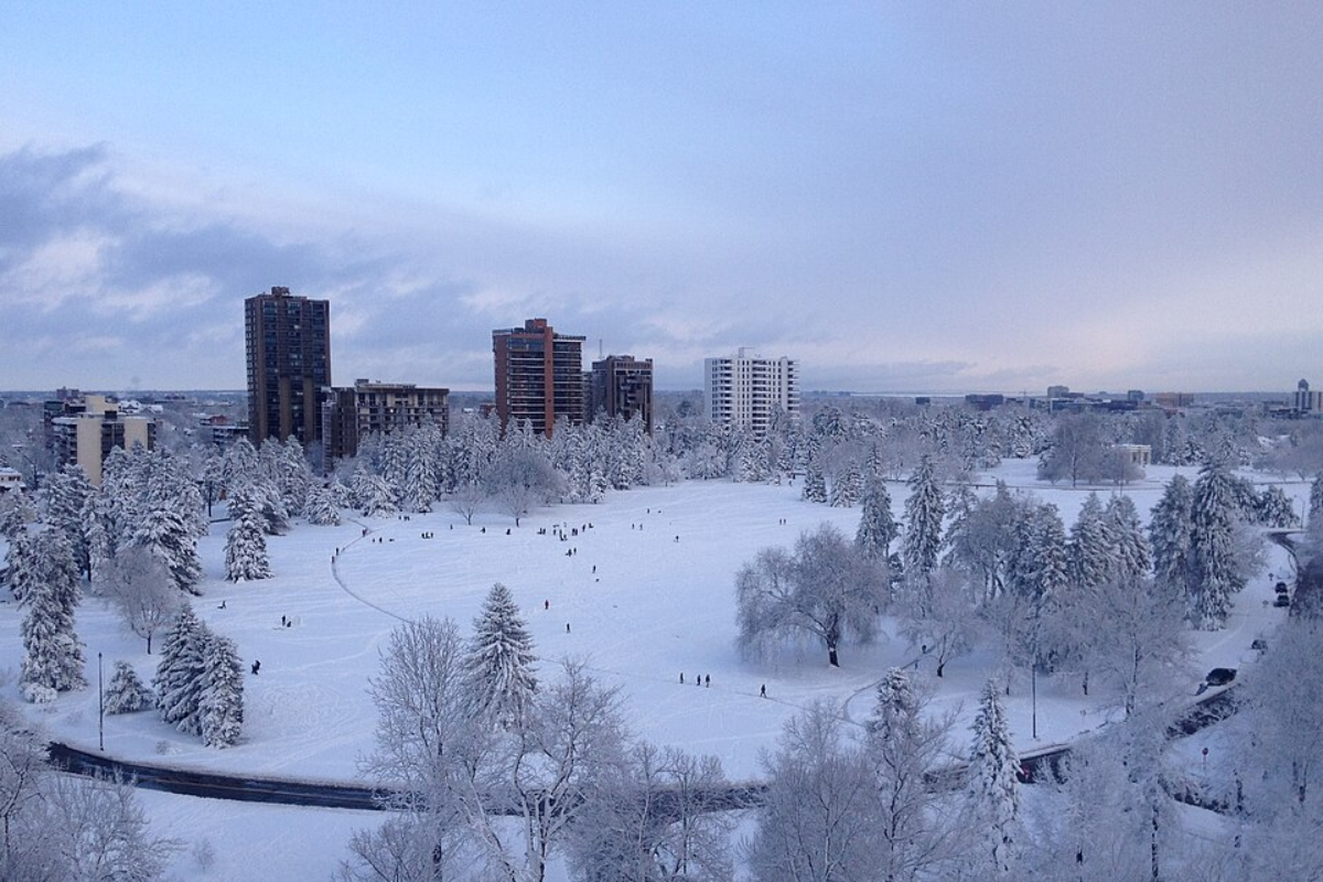
Wind speeds will also pick up, gusting as high as 21 mph, signaling a rollicking start to the weekend, with rain and possible snow showers in the mix. "Two to six inches of snow can be expected in the higher elevations," the National Weather Service reports.Saturday doesn't let up, as Denver continues on a seesaw of meteorological terms, with a 50 percent chance of showers throughout the day, and the high barely creeping up to 58 degrees.
Then, Mother Nature throws another curveball with rain showers predicted to transition into a mix with snow showers later in the evening, complicating travel and outdoor plans alike.Looking ahead, the stretch from Sunday to Thursday won't offer much reprieve from the fickleness. Sunday's forecast teeters with chances of rain and snow showers before 3 pm and a high struggling to reach the upper forties.
The start of the workweek brings a dash of sunlight on Monday, but by Tuesday night, it appears we're back to winter's gambit, with a potential mix of rain and snow showers and temperatures that flirt with freezing levels. The brunt of this chilly snap will make its presence felt on Wednesday: "A chance of snow showers. Partly sunny, with a high near 55.
Breezy," the National Weather Service notes..