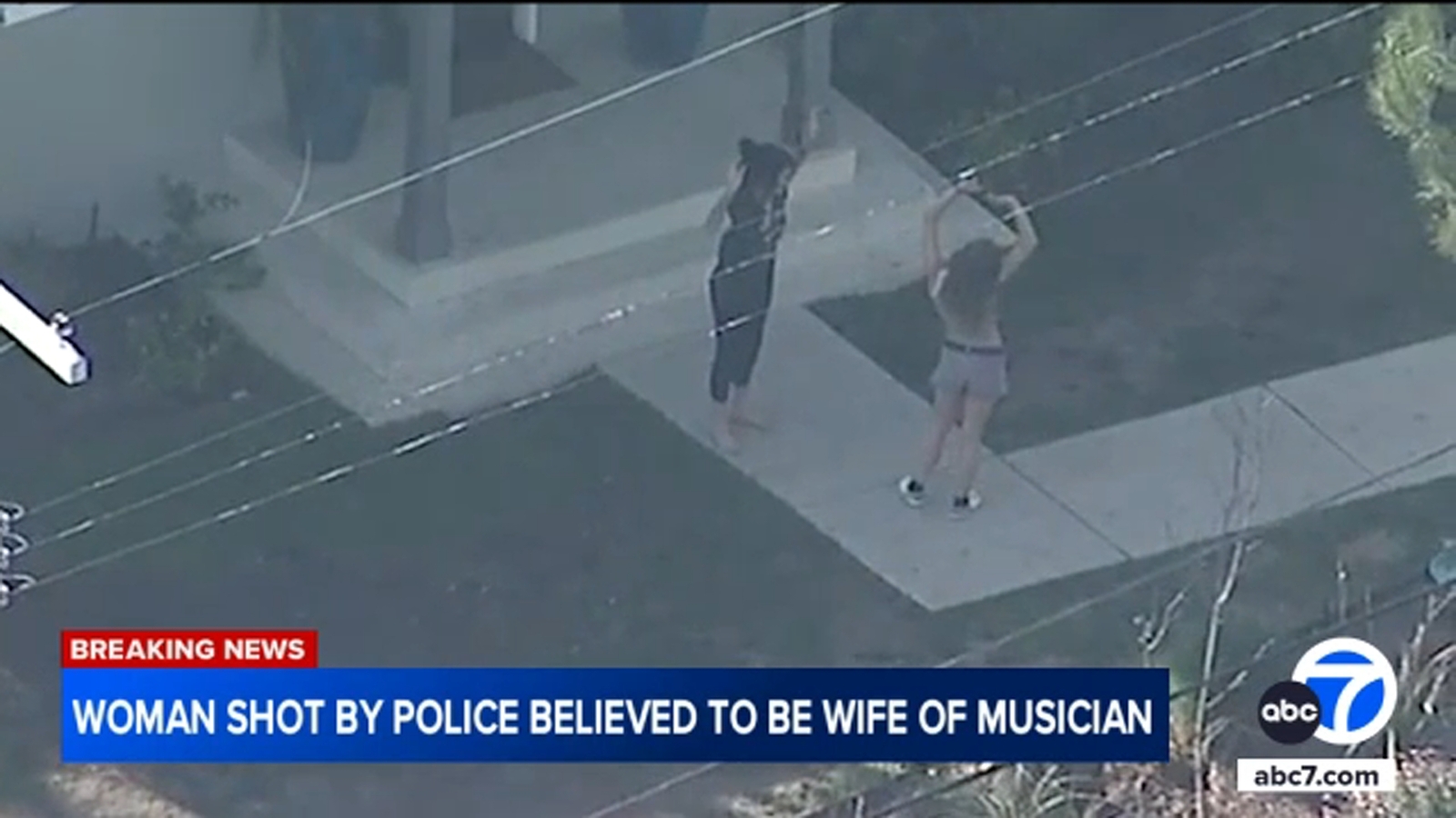
2 weeks Ago By Mónica De Anda
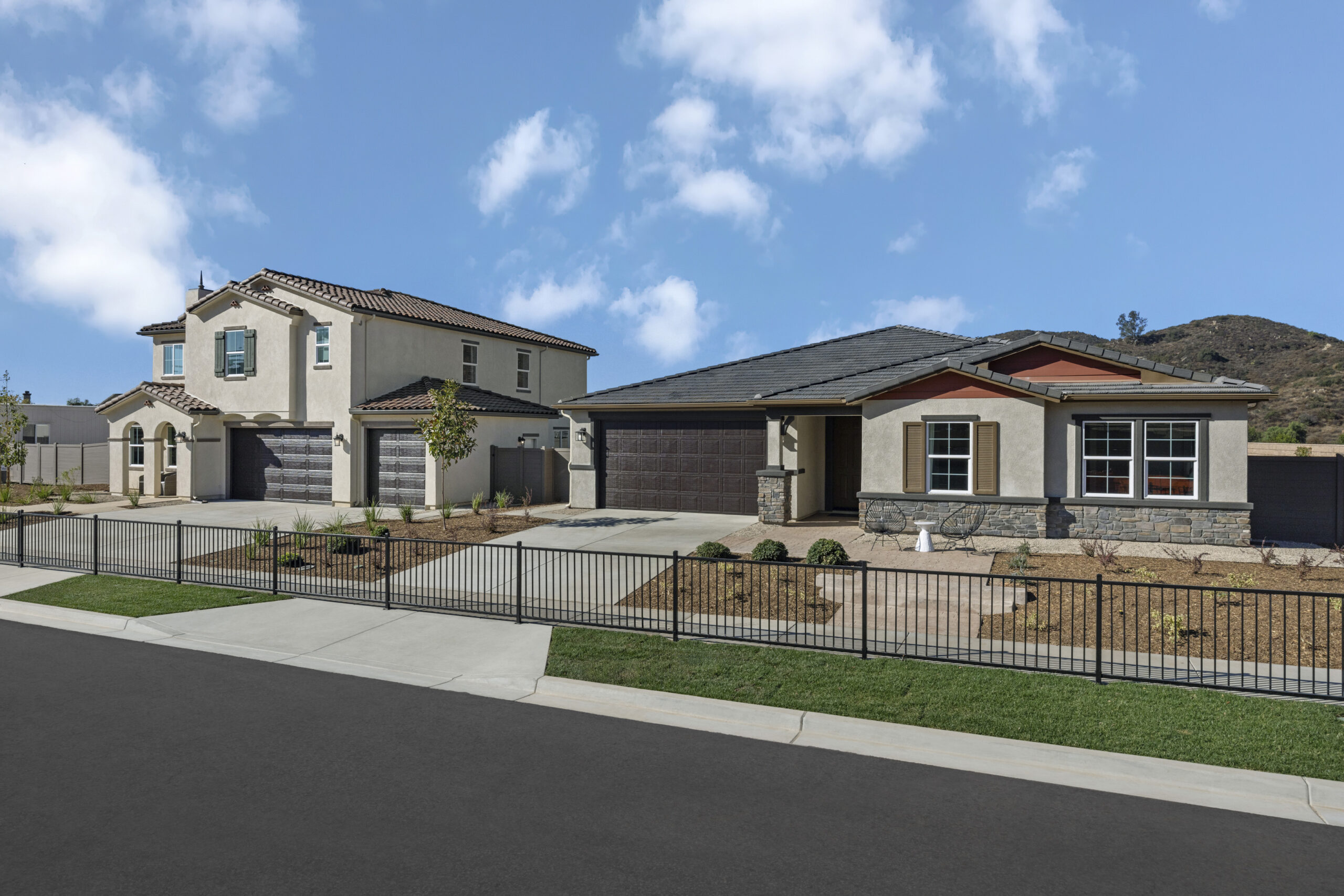
LOS ANGELES (KABC) -- Cal Fire on Monday is expected to release updated maps that show where wildfires are mostly likely to occur within the next several decades. The risk level on the maps will be split into three categories: moderate, high and very high. The factors used to determine the severity include topography, fire weather, flame length, past fire history and vegetation type, and the likelihood of a wildfire.
Once the maps are released, Los Angeles County Supervisor Kathryn Barger will hold a media availability with fire officials about how they will impact fire prevention measures and local communities. The urgency to release the updated maps comes from an executive order signed by Gov. Gavin Newsom last month, following the destructive Palisades and Eaton fires in January.

Eyewitness News data journalist Jill Castellano found that more than 88,000 acres in Ventura County fall into that "very hazardous" category - a 54% increase in acreage since the prior maps from 2011. Cities with the most hazardous acres of very high fire hazard include Moorpark, Simi Valley, and Thousand Oaks, and the "very high" hazard acreage in Ojai more than tripled. Unincorporated land in Ventura County now includes more than 31,000 acres of very highly hazardous land, a five-fold increase from 2011.
"This map, and the levels of fire hazard, really just match with the conditions our firefighters have been experiencing for several years now," Chief Daniel Berlant, California state fire marshal, said earlier this month. Another element to these destructives wildfires are the potentially harmful chemicals that firefighters are exposed to when battling the flames. A study currently underway is expected to determine whether the firefighters that battled the Eaton and Palisades fires jeopardized their long-term health, testing several hundred firefighters to monitor their exposure to cancer-causing chemicals.
Researchers with the Wildfire Conservancy and the University of Arizona plan to use the data collected to compare the firefighter's exposure to what fire crews in New York City went through on Sept. 11, 2001..