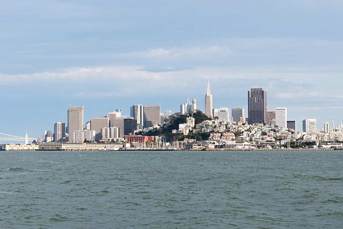
The Bay Area will be graced with another day typical of its temperate climate, as reported early this morning by the National Weather Service (NWS) in San Francisco. In a statement, they maintain that there are "no major changes to the forecast" with light rain expected to remain north, only skirting the edges of northwest California and perhaps northern Sonoma County late tonight. With varying cloud cover, from partly to mostly cloudy skies, temperatures are slated to range in the mid-50s to low 60s along the coast and generally sit in the 60s for inland areas.
San Franciscans looking forward to the weekend can expect a warming trend to begin late Saturday into Sunday as zonal flow gives way to upper-level ridging, according to the NWS update. This trend is on track to lead to "high temperatures being 5 to 15 degrees above normal on Monday and Tuesday." However, as we look to the latter part of next week, a change in the pattern may bring rain chances back into the picture, particularly for the North Bay, starting Wednesday through Friday.

But, as with all things meteorological, uncertainty looms with the timing and placement of this system, so Bay Area residents are advised to stay tuned for updates.Aviation forecasts remain similarly undisturbed, with Visual Flight Rules (VFR) being the mainstay for most terminals except for some fog expected at STS and APC in the North Bay. Moderate west to northwest winds today will soften overnight, and low clouds are anticipated to return tomorrow morning, possibly affecting regional traffic.
The NWS has moderate confidence that ceiling heights will drop tomorrow, forecasting "MVFR CIGs will develop between 12Z-15Z tomorrow morning and persist through the end of the TAF period."On the marine front, the breezy conditions lashing the coastal areas south of Point Pinos are expected to persist through early Saturday. The waters will not stay calm for long despite waning in these forceful winds early next week.
The NWS predicts the arrival of long-period swells around mid-week, imbuing the ocean with the deceptive threat of sneaker waves. As the forecast warns, "significant wave heights will build mid to late next week as a low pressure system moves into the PNW."Confirming today's weather expectations via social media, @NWSBayArea reminded us that despite "a weak disturbance" wandering through just to our north, we're keeping it dry locally.
The service assures us that the high temps will stay within expected norms for a March day in San Francisco, signaling that rain is likely to hold off just a tad longer.Happy Friday! Here's today's high temperature forecast. A weak disturbance passes to our north which will bring partly to mostly cloudy skies to the region.
Rain should stay just to our north. #cawx pic.twitter.
com/i97Ejwmzsg— NWS Bay Area 🌉 (@NWSBayArea) March 21, 2025.


