 4 days Ago By Emily Johnson
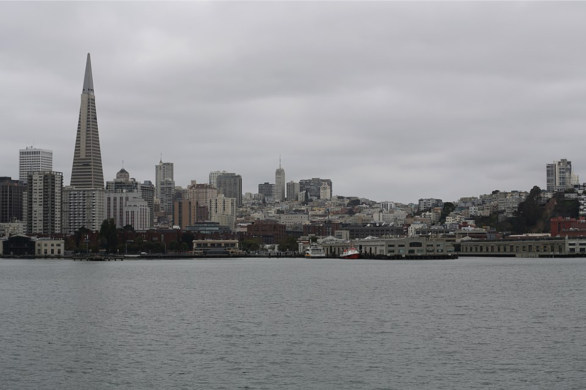
Bay Area residents can expect a shift in the weather as light rain is forecasted to roll in Friday afternoon and continue through Saturday. The National Weather Service in San Francisco has indicated that the cooler trend will remain over the weekend, accompanied by the possibility of isolated thunderstorms and drizzle throughout the region. According to the National Weather Service, the marine layer clouds could also contribute to patchy fog across the Bay Area.
While the inland valleys bask, perhaps briefly, in sunshine this afternoon, the coast and coastal valleys are expected to stay clouded, with temperatures ranging from the mid-50s to the low 60s. The gusts of wind ramping up this afternoon will be felt strongest at the coast, with some areas seeing gusts between 20 and 30 mph. The NWS San Francisco report noted, "In some favored regions, particularly Altamont Pass, Pacheco Pass, and the Mayacamas, the gusty winds could last well into the evening.

"Rain totals across the Central Coast, particularly the Monterey Bay region and the Salinas Valley, are expected to be up to 0.25”, per updates from NWS Bay Area's social media post. The Santa Cruz Mountains and the Santa Lucia Mountains could see higher totals.
Meanwhile, the North Bay area might see very little precipitation due to upper-level offshore flow, which mitigates the chances of rain.Light rain arrives Friday afternoon through Saturday, with the most rain expected across the Central Coast. Rain totals up to 0.
25" are possible in the Monterey bay region and Salinas Valley. Isolated thunderstorms are also possible late Friday into Saturday. #CAwx pic.
twitter.com/j61Atnl7Qt— NWS Bay Area 🌉 (@NWSBayArea) April 24, 2025As the region prepares for the approaching weather system, discussions about thunderstorm activity also surface. As per the National Weather Service, forecasters highlight a "steady increase in the likelihood of convection across the region.
" With cold frontal passage as a source of lift coupled with the requisite moisture and some instability, only the wind shear factors remain as varying components that could affect thunderstorm potential. Even as it hovers around 10-20% possibility, the forecast aligns with the lows tracking more southerly, potentially bringing higher bulk speed shear values into Monterey County, a key to elevating that risk..