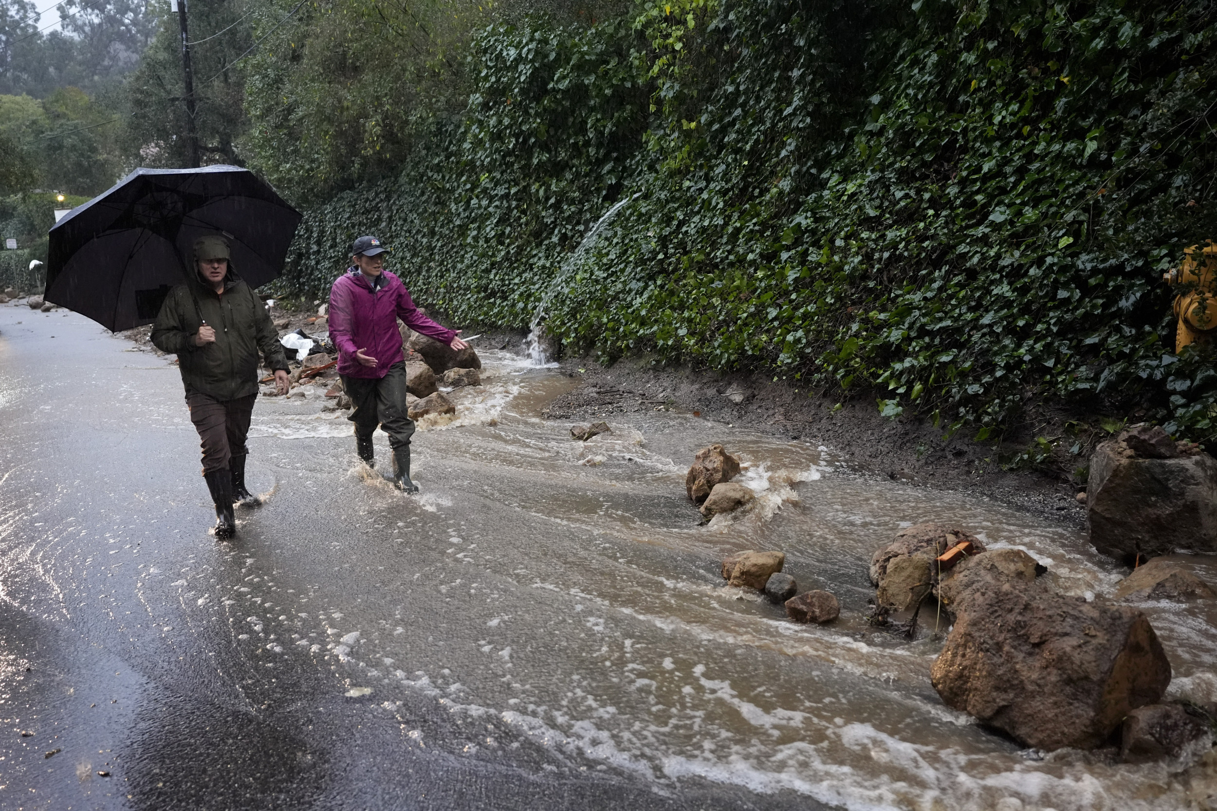
A pair of storms and accompanying atmospheric river are set to deliver heavy rain, mountain snow and strong winds to the Western United States from Friday into Saturday. This weather system, described by meteorologists as a "river in the sky," will bring significant impacts to California, Oregon and Washington. The National Weather Service (NWS) and AccuWeather have issued warnings for potential flooding, power outages and hazardous travel conditions as the storms "wallop" the coast.
Atmospheric rivers are narrow bands of concentrated water vapor that carry immense amounts of moisture from tropical regions to higher latitudes. According to the NWS , these systems can transport as much as 15 times the water vapor as the Mississippi River carries in liquid form. When they reach land, they release this moisture as heavy rain or snow, often leading to extreme weather events.

Unlike the atmospheric river that struck the East Coast earlier in the week, this system brings rain in from the Pacific almost perpendicular to the coast. "Often times, because of the orientation of the moisture and the mountainous terrain along the West Coast, events can be more extreme compared to what occurs on the East Coast," Brandon Buckingham, a meteorologist at AccuWeather, previously told Newsweek . Southern Oregon, as well as Northern and Central California, is expected to bear the brunt of the storm.
Heavy rain will saturate the Coastal Ranges, with rainfall rates reaching half an inch per hour and totals between three and five inches, though some areas could see as much as seven inches. This deluge raises the risk of localized flooding, mudslides and debris flows, particularly in areas with poor drainage. In the Sierra Nevada, snow will fall at rates of several inches per hour, accumulating to one to three feet or more in some locations.
Winter storm warnings have been issued in these areas by the NWS. Blizzard conditions may develop as snow levels drop significantly after an initial period of rain at higher elevations. Strong winds, with gusts of 40 to 60 miles per hour in many areas and peaks of up to 80 miles per hour in the mountains, could cause further disruption.
"Winds can become strong enough in portions of Northern and Central California and western Washington and southern British Columbia to trigger local to regional power outages," AccuWeather Senior Meteorologist Adam Douty said in a statement . At the time of writing, no major power outages have been reported, according to poweroutage.us .
In Oregon and Washington, the storm will bring heavy rain to lower elevations, potentially causing urban flooding in poorly drained areas. "Rain will pour down in low elevations in Northern California and the southwestern part of Oregon as well from Friday through Saturday," Douty said. The Cascades are forecast to receive six to twelve inches of snow, with higher amounts expected in southwestern British Columbia.
Winds will gust to 60 mph along the coast and in mountainous regions, posing a risk of power outages and travel delays. Snow on a roof/structure could cause damage/collapse if the structure isn't built for extreme weather. The graphic shows the snow weight in varying snow types (wet, dry, and wet/dry mix).
We're expecting heavy, wet snow Fri-Sat in the Mt. Shasta region (1-2 feet). #orwx #cawx pic.
twitter.com/iT68SBfjbF The NWS has issued gale warnings along almost the entirety of the coast, with a full-blown storm warning in some offshore regions of Washington. Southern California will face less severe conditions, with breezy weather rather than the high winds expected further north.
Travel disruptions are likely throughout the region, especially in mountainous areas where roads may close due to heavy snow and dangerous conditions. Key routes such as Interstate 80 in the Sierra Nevada could become particularly hazardous. Looking ahead, additional storms are forecast to roll in from the Pacific after this weekend's weather event, maintaining a wet and turbulent pattern for the West.
However, forecasters suggest there could be a brief respite from the storm activity later next week. Do you have a tip on a science story that Newsweek should be covering? Do you have a question about atmospheric rivers? Let us know via [email protected].
.


