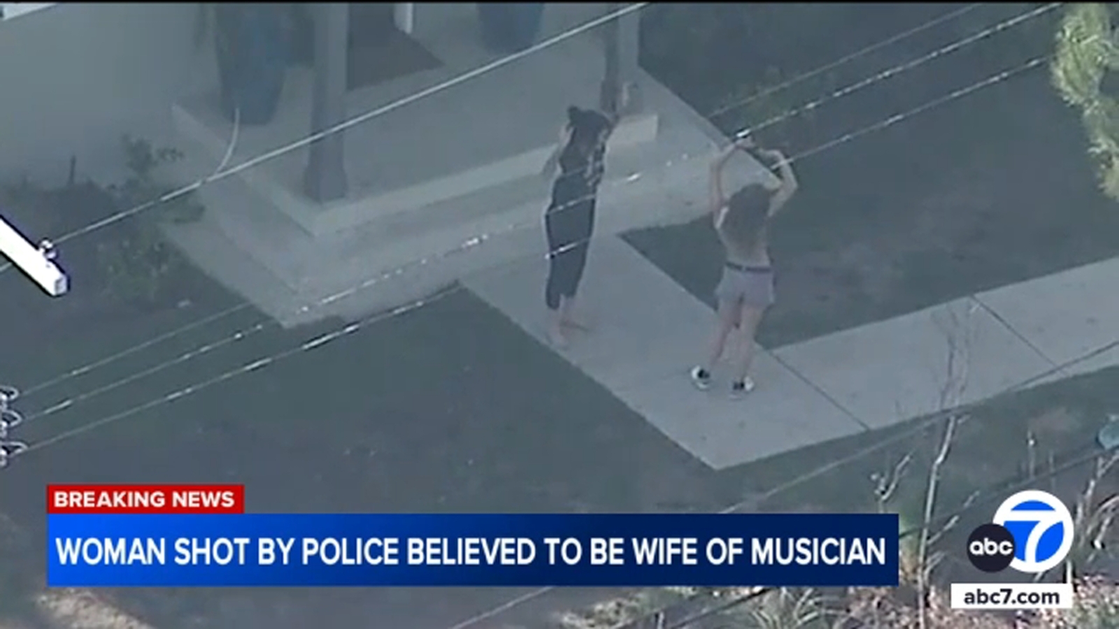
2 weeks Ago
The number of Altadena homes and business that must comply with stiffer wildfire building codes during reconstruction increased under new hazard maps released Monday, March 24, extending areas susceptible to wildfires deeper into the community.However, the new fire hazard zones appear to leave out at least half of the neighborhoods demolished in the Jan. 7 Eaton fire.
The maps, compiled by the state Forestry and Fire Protection Department, or Cal Fire, indicate where the probability of wildfire is greatest in the next 30-50 years.Also see: Lawmakers at fire burn zone say recovery funding needs ‘replenishing’The “very high” wildfire hazard zone changed little under the maps released Monday. But the update extends the “high” and “moderate” hazard zones at least five blocks south and more than half a mile.

Designations for Pacific Palisades, meanwhile, changed little, although the wildfire hazard zones now extend into the northwestern boundary of Santa Monica.Pacific Palisades had a very-high fire hazard designation under the previous maps, meaning homeowners there already were required to comply with wildfire building codes during reconstruction. The updated maps continue to show the entire 23,700-acre Palisades Fire area remains in a very-high fire zone.
In Altadena, however, hazard maps released at least 14 years ago designated just three to six blocks along the northern edge as being in a “very-high fire hazard severity zone,” including everything north of Loma Alta Drive and Farnsworth Park.“Altadena and Pasadena in the previous map only had a very small strip along the foothills and the bottom of the mountains that were zoned in a very-high fire hazard severity zone,” state Fire Marshall Daniel Berlant said recently. “In these new maps (that will) extend further into into the communities itself.
”The new map extends high and moderate fire zones about 3 1⁄2 blocks south of Farnsworth Park, including about seven to eight blocks, or the northern mile of Altadena.L.A.
County Fire Deputy Chief Albert Yanagisawa said he was surprised about how the update impacted Altadena.“Before these maps were produced, I thought the very high-fire severity zones were really going to reach down deep, deep down into Altadena and they haven’t,” Yanagisawa said.Yanagisawa and Supervisor Kathryn Barger spoke during a virtual press conference Monday afternoon.
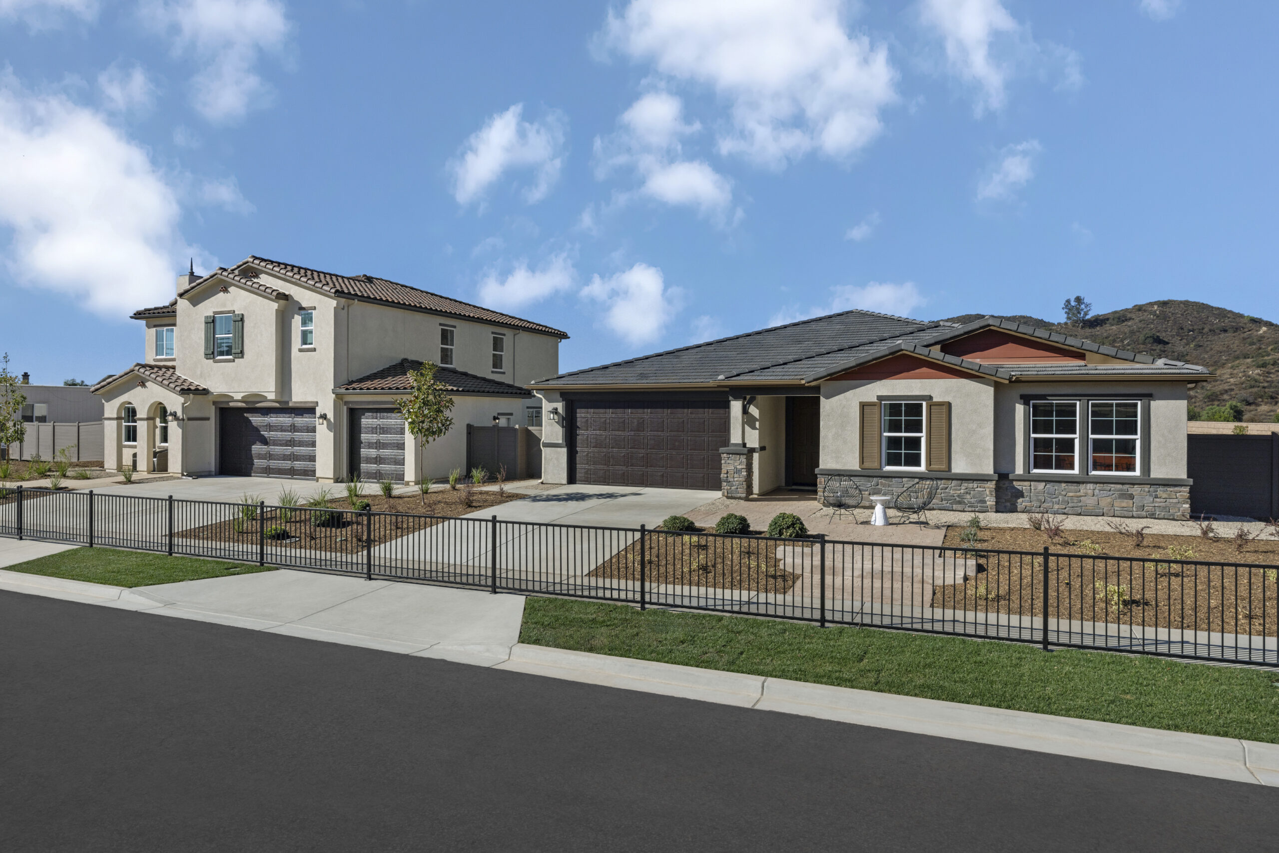
Demolished homes and buildings in the high and very-high “fire hazard severity zones” will have to meet stricter wildfire building codes when they’re rebuilt under state law. The current map shows that the high fire zone extends as far as three blocks south to Wapello Street.During reconstruction, homes in the high and very-high zones must comply with Chapter 7A of the building code, which mandates that homes have fire-resistant roofs and rain gutters, have outer walls capable of withstanding heat and flames for up to an hour, have double-pane windows with tempered, shatter-proof glass and ember-resistant attic and garage vents.
Barger and Yanagisawa said the updated maps would not impede the permitting process for those looking to rebuild post-fire.“It’ll have very little effect on how we’re permitting for rebuilds,” Yanagisawa said. “It really has not changed much.
”Barger said the updated maps would be an essential tool for those rebuilding their homes and said the county fire department would work with public works and the planning department to provide guidance to the public on what the requirements for rebuilding will be.By the end of the week, Barger said there would be an announcement of how many permits had been submitted and how many have been approved. As of Monday, no permits have been approved.
“We have not been postponing approving permits pending this map,” Barger said.The number of homes in very-high zones, which must undergo annual brush inspections, does not appear to have changed significantly.The Los Angeles County Fire Department, which protects unincorporated Altadena, conducts annual brush inspections every spring in very-high fire zones of county unincorporated areas, charging $151 to the owners’ property tax bill to cover the cost.
A county fire department spokesman said it will take several days, if not a week, to determine the precise impact of the new maps on homes and buildings destroyed in the Eaton fire, which consumed more than 14,000 acres and destroyed 9,414 homes, businesses and other structures.The Eaton fire penetrated about 18-28 blocks into Altadena neighborhoods, driving perhaps 10 blocks beyond the limits of the updated fire hazard zones.Related ArticlesHousing | State releasing new fire maps for Southern California.
Here’s why they matterHousing | Mom’s the Word: Altadena artists are going the hard way togetherHousing | Tenants at Altadena apartment complex say they’ve gone without gas, electricity since Eaton fireHousing | Investigators climb Edison transmission towers in probe of alleged Eaton fire ignition siteHousing | ‘It will not be survivable’: Lake Tahoe could be a deathtrap during major wildfires“The old maps, as I recall, failed to identify Altadena as a high-hazard area,” said Jack Cohen, a retired research physical scientist with the U.S. Forest Service who worked in Southern California during the 1980s.
That failure was “a little bit bizarre” since the community had a history of fire issues.The L.A.
County Board of Supervisors has until July 22 to adopt the maps. While local governments can’t reduce the size of state-designated fire zones, they can increase them.In Santa Monica, new maps extend the very-high wildfire hazard zone beyond the city boundary east of San Vicente Boulevard, with high and moderate fire zones extending another two or three blocks into the city.
.