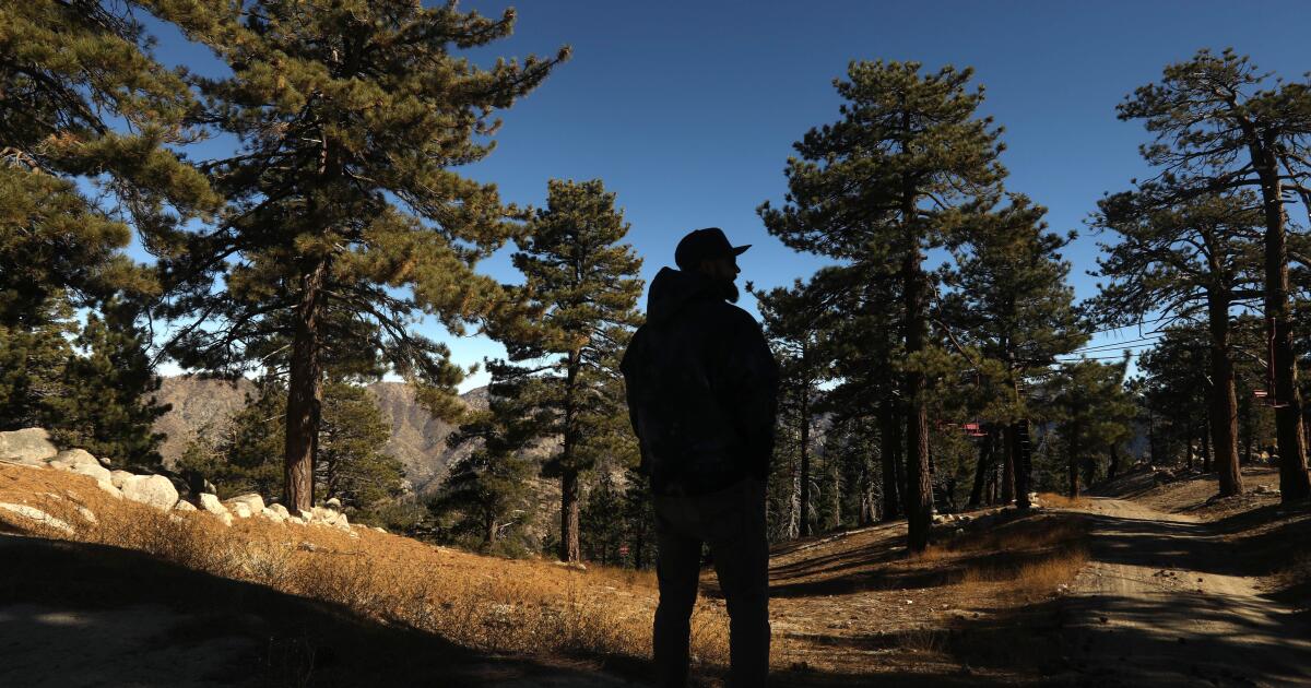
A quick-moving storm was just enough to give us another taste of winter at the beginning of the week as it brought steady valley rain and six inches of snow to the Sierra. Another active storm system arrives on Wednesday bringing rounds of rain and snow into the region through Saturday. Our First Alert Weather team has made Wednesday, Thursday, and Friday First Alert Action days as more wet weather moves back into Northern California.
It will be a dry start to our Wednesday as clouds and winds increase through the morning. The day will start chilly before temperatures warm to the 50s and low 60s. Across the Sierra, wind arrives first and will stay strong through the afternoon.

A Wind Advisory has been issued as wind gusts range from 20-50 MPH, with higher wind speeds across Sierra ridgetops. Across the Valley, it will be a breezy start to the day with wind speeds of 15-35 MPH. Between 11 a.
m. and 2 p.m.
, rain begins to develop across the Sacramento Valley. Showers will move in from the Coastal Range and spread southeast through the day. As the cold front moves through, a quick round of steadier rain showers will arrive Wednesday evening mainly north of I-80.
Most of the San Joaquin Valley will see little to no rain. Snow levels across the Sierra will start at 5,500-6,00 feet and slowly lower through Wednesday evening. Snow will be light to moderate at first.
By the early evening, expect our heaviest snow to develop over the passes. Travel will be difficult at times so make sure to be prepared if you have to travel over the Sierra. You can expect chain controls and travel delays Wednesday evening through Thursday morning.
Snow levels will be around 4,500 - 5,500 feet on Thursday morning, yet most of the snow will be light. Expect a lull in activity to start the day before the second wave arrives. Rain will be scattered across the Valley and foothills on Thursday, with a few sun breaks in between.
Any sun breaks we get, will increase instability in the atmosphere and enhance thunderstorm chances through Thursday afternoon. Thunderstorms that develop could bring heavy rain, lightning, gusty winds, and small hail. Showers continue through Thursday evening and snowfall will begin to pick up again Thursday evening through Friday.
Thursday night into Friday the colder air moves in with snow levels dropping below 5,000 feet. We could see snow levels as low as 4,000 feet by early Friday morning. Snow could be heavy at times on Friday afternoon.
Expect chain controls and delays if traveling over the passes. Through Friday evening, rain will begin to taper off across the Valley and foothills. By Friday evening most of the Valley will be dry with lingering snow showers across the foothills and Sierra through early Saturday.
Adding up the next three days, precipitation will be beneficial from the Valley to the Sierra. In the Valley, amounts will range from 0.10-0.
25'' in the San Joaquin Valley, with higher amounts as you get north of Sacramento. In the foothills, expect 0.25'' to one inch of rain by Saturday morning.
Amounts will trend higher as you get further north of I-80. The next three days will help many ski resorts as they gear up for their opening days. Expect 6 inches to a foot of snow is expected for elevations above 6,000 feet.
Higher peaks could see localized amounts of 18 to 24 inches of snow by Saturday. The highest amounts from this storm will happen in locations such as Donner Summit, Kirkwood, and Bear Valley just to name a few. Again, make sure to be prepared for winter travel if your plans take you across the Sierra this week.
The start of the weekend will be cool with more sunshine across the Valley and foothills. By Saturday morning, most snow showers across the Sierra will begin to taper off with more sun through the afternoon. Valley and foothill highs will be in the low 60s and 50s, with low 40s across the Sierra on Saturday afternoon.
Saturday will be another brief break in our active pattern before another storm system moves in By Sunday evening. This storm system looks to move in at a faster pace than the storm at the end of the week. But with enough cold air already in place we could pick up an additional 1 to 6 inches of snowfall across the Sierra Sunday through Monday, November 18.
More rain is expected to return to the valley and foothills, especially on Monday. Make sure to stay with the CBS Sacramento First Alert Weather team as we track the potential impacts this next storm may bring to the start of the upcoming workweek..


